



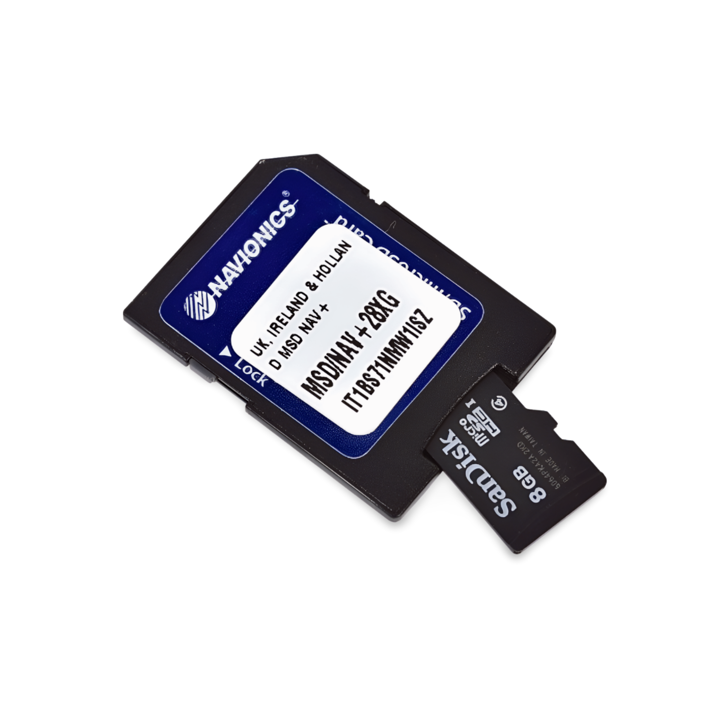

Item number: 010-C1350-40 (Navionics code: NPEU628L) | Format: microSD™/SD™ card
Safe Navigation in Tidal Waters
The waters around Great Britain and the Netherlands are characterized by strong tides and shifting sandbanks. The Navionics Platinum+ NPEU628L assists you here with satellite imagery that can better visualize areas that fall dry at low tide (depending on the image). 3D views help to intuitively grasp channels in the Wadden Sea or underwater obstacles on the rocky Irish coast. Additionally, there are comprehensive port photos for trip planning.
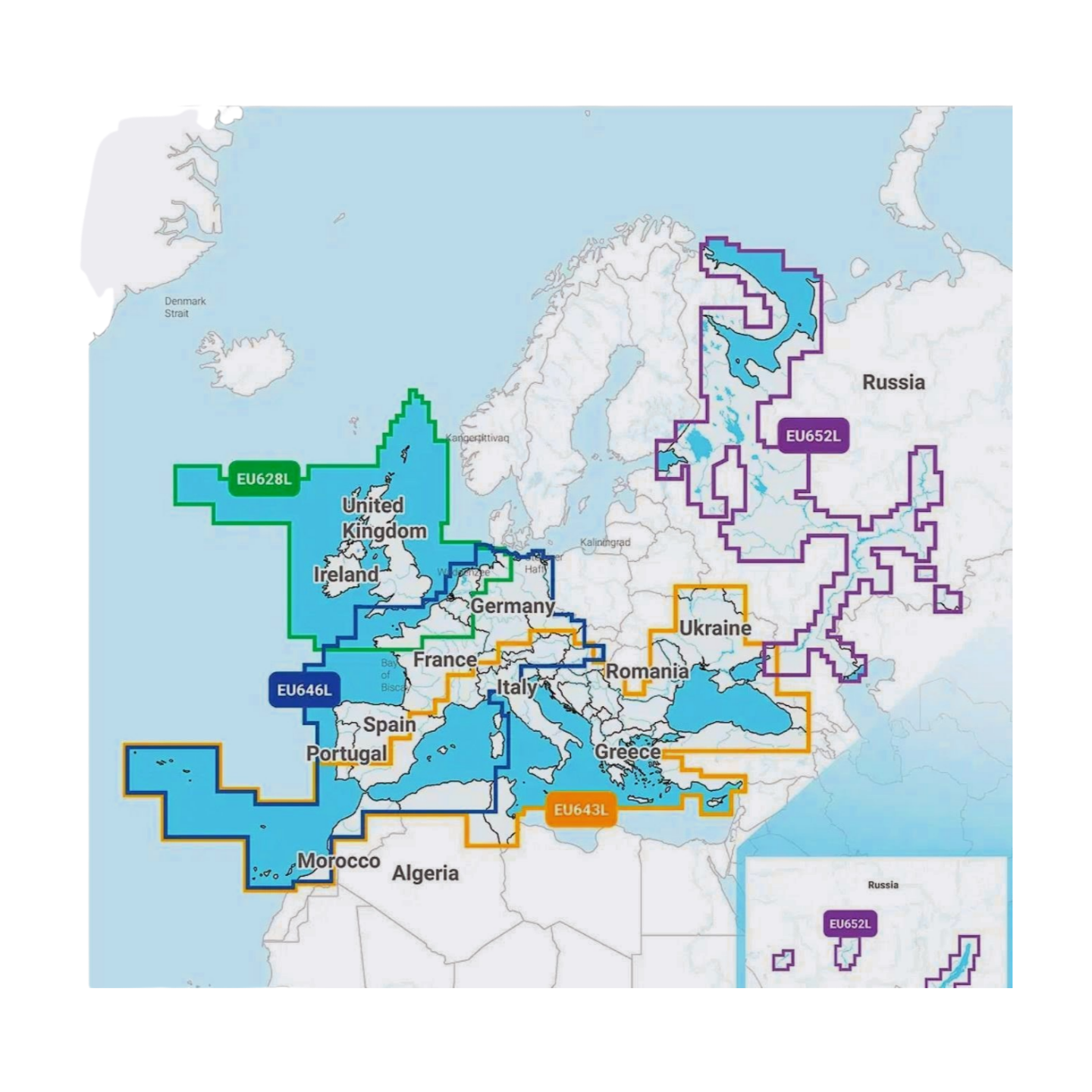
Coverage & Charts
- Great Britain: England, Scotland (incl. Orkney & Shetland), Wales, Isle of Man.
- Ireland: Republic of Ireland and Northern Ireland (complete).
- Netherlands & Belgium: Coastal waters and inland waters (IJsselmeer, canals).
- Northern France: Coast from Calais to Normandy/Brittany.
Exclusive Features of the Platinum+ Series
- SonarChart™ Shading & Satellite Imagery: Detailed display of the seabed and coast.
- 3D-View: Three-dimensional views for better depth perception.
- Pilot Books & Photos: Comprehensive information on ports and POIs.
Compatibility
- Raymarine, Simrad, Lowrance, B&G, Humminbird.
- ⚠️ NOT for Garmin devices.
Technical Data
- Chart Code: NPEU628L (UK, Ireland & Holland)
- Manufacturer Part Number: 010-C1350-40