



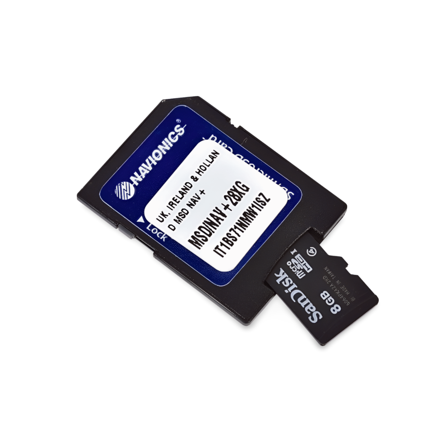

Item number: 010-C1353-40 (Navionics code: NPEU645L) | Format: microSD™/SD™ card
Precision in the archipelagos: Oslo, Gothenburg and the Danish South Sea
The Skagerrak and Kattegat are among the most navigationally challenging areas. The Navionics Platinum+ NPEU645L offers decisive advantages here: The satellite overlay shows you the actual nature of islands and shore zones, which is extremely helpful in the confusing archipelago areas of Norway and Sweden. 3D views visualize shoals and channels, while panoramic photos show you what the guest harbour or anchorage looks like even before you arrive.
Coverage & Cartography
- Norway: South coast (Sørlandet) and the entire Oslofjord.
- Sweden: The entire west coast (Bohuslän) from Svinesund via Gothenburg to the Öresund.
- Denmark: Kattegat, Skagerrak, Limfjord, Zealand, Funen and the Danish Baltic Sea islands.
- Germany: Coastal waters from Flensburg to Fehmarn (as a transition).
Exclusive Features of the Platinum+ Series
- Satellite Overlay: Photorealistic map display for better orientation in island labyrinths.
- 3D View: Three-dimensional view of the underwater world.
- Port & Aerial Photos: Bird's eye views of marinas and narrow passages.
Compatibility
- Raymarine, Simrad, Lowrance, B&G, Humminbird.
- ⚠️ NOT for Garmin devices.
Technical Data
- Chart Code: NPEU645L (Skagerrak & Kattegat)
- Manufacturer Part Number: 010-C1353-40 (Model Series MSD/NPEU645L)