


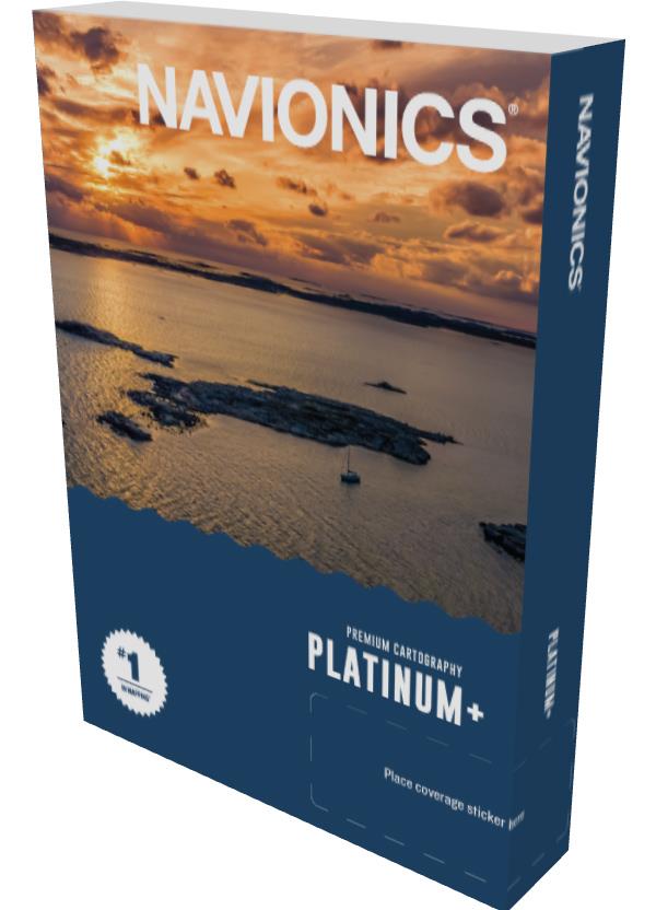
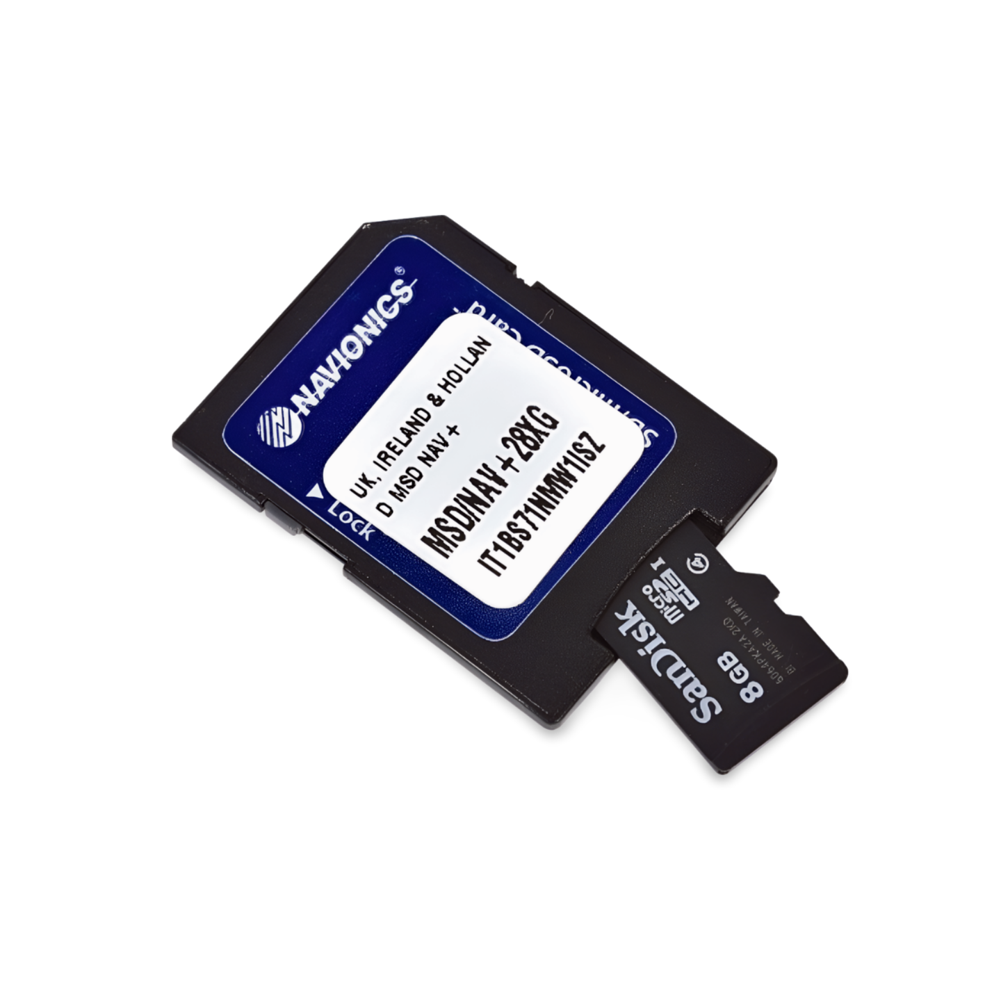

Part Number: 010-C1312-40 | Navionics Code: NPEU006R | Format: microSD™/SD™ Card
Highlands and Islands: Navigating Spectacular Nature
One of Europe's most beautiful, yet navigationally challenging, areas. The Platinum+ NPEU006R helps you navigate safely through the currents and rocks of the Hebrides (Skye, Mull, Islay). The Satellite Overlay is extremely useful for finding sheltered anchorages in the secluded lochs. The 3D-View impressively shows how the steep mountains of the Highlands drop underwater.
Coverage & Chart Material
- Scotland: West Coast complete, Firth of Clyde, Solway Firth.
- Islands: Inner Hebrides (Skye, Mull etc.), Outer Hebrides (Lewis, Harris), Orkney Islands.
- Ireland: North Coast (Northern Ireland and Republic of Ireland North).
Exclusive Features of the Platinum+ Series
- Relief Shading & Satellite Imagery: Best orientation in fjords (Lochs).
- 3D-View: Plastic depth representation.
- Pilot Books & Photos: Information on distilleries, harbors, and anchorages.
Compatibility
- Raymarine, Simrad, Lowrance, B&G, Humminbird.
Important Note
⚠️ NOT compatible with Garmin chartplotters.
Technical Data
- Chart Code: NPEU006R (Scotland West)
- Manufacturer Part Number: 010-C1312-40