


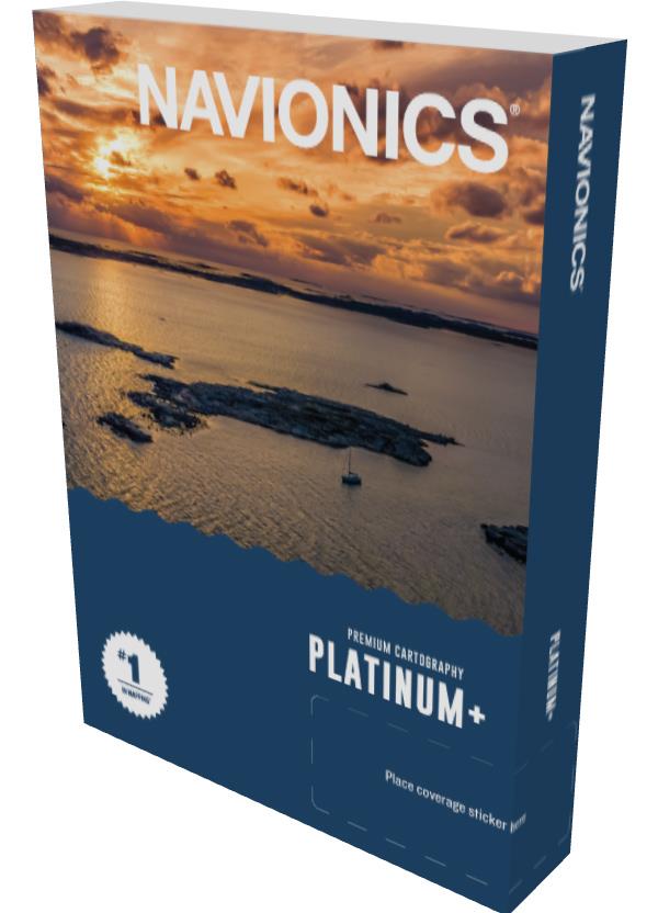
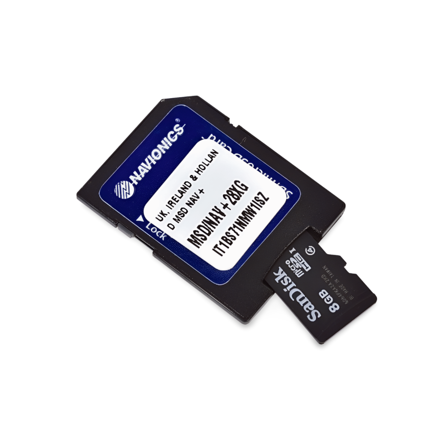

Part number: 010-C1326-40 | Navionics Code: NPEU042R | Format: microSD™/SD™ card
Archipelago in 3D: Oslo, Gothenburg and the West Coast
This is the ideal chart for all skippers who spend the summer in the archipelago. The Platinum+ NPEU042R not only offers precise depth contours, but also crucial visual advantages: The satellite overlay helps to maintain orientation in the countless islands north of Gothenburg. 3D views visualize the deep channels in the Oslofjord, while panoramic photos facilitate approaching the popular guest harbors in Bohuslän.
- Coverage: Oslofjord (complete), Swedish west coast (Strömstad, Smögen, Gothenburg, Varberg, Halmstad, Helsingborg, Malmö, Trelleborg), Denmark (Læsø, Skagen).
- Platinum Features: Satellite overlay (archipelago navigation), 3D View, harbor photos.
- Compatibility: Raymarine, Simrad, Lowrance, B&G, Humminbird.
- ⚠️ Important note: NOT compatible with Garmin chartplotters.
Compatibility
This map is compatible with modern chartplotters from the following brands:
- Raymarine, Simrad, Lowrance, B&G, Humminbird.