


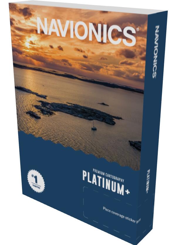
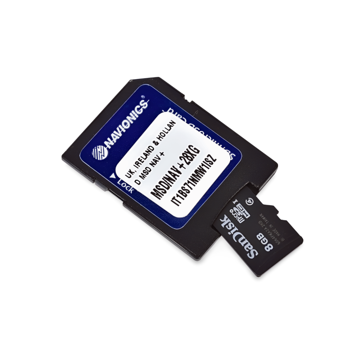

Item number: 010-C1311-40 | Navionics Code: NPEU004R | Format: microSD™/SD™ Card
The Bridge Between Islands
The Irish Sea is known for strong tides and heavy shipping traffic. The Platinum+ NPEU004R supports you with precise depth contours and navigation aids. Especially when approaching Dublin, passing around Anglesey or in the Bristol Channel, the integrated current arrows and the satellite overlay (for identifying drying areas) are a great help.
Coverage & Cartography
- Ireland: East coast (Waterford, Dublin, Dundalk) and Northern Ireland (Belfast).
- Great Britain: West coast (Bristol Channel, Wales, Liverpool, Morecambe Bay) up to the Scottish border.
- Central: Isle of Man (complete).
Exclusive Features of the Platinum+ Series
- Satellite Imagery & Shading: For better assessment of shallow water areas.
- 3D-View: Three-dimensional representation of the seabed structure.
- Port Photos: Visual aid for harbor entry.
Compatibility
- Raymarine, Simrad, Lowrance, B&G, Humminbird.
Important Note
⚠️ NOT compatible with Garmin chartplotters.
Technical Specifications
- Chart Code: NPEU004R (Irish Sea)
- Manufacturer Part Number: 010-C1311-40