


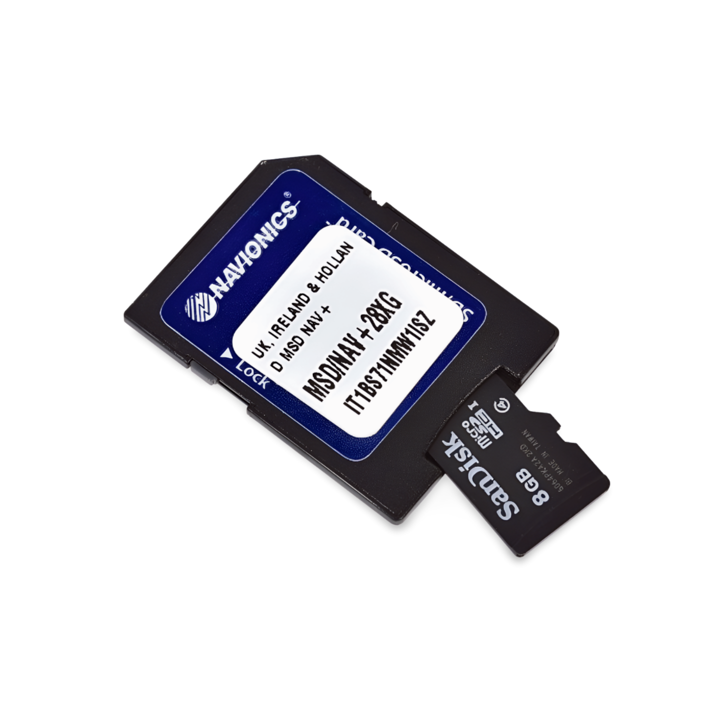

Item number: 010-C1310-40 | Navionics code: NPEU003R | Format: microSD™/SD™ card
From England to the far North
This chart accompanies you from the industrial ports of England to the wild nature of the Scottish islands. The Platinum+ NPEU003R offers detailed information for approaching the Firth of Forth or the oil metropolis Aberdeen. For the navigationally challenging passages between the Orkney Islands (Scapa Flow), the 3D view and the satellite overlay provide valuable orientation support.
Coverage & Charts
- England Northeast: From Whitby/Humber Estuary northward (Newcastle).
- Scotland East: Firth of Forth (Edinburgh), Dundee, Aberdeen, Inverness (Caledonian Canal entrance).
- Islands: Orkney Islands and Shetland Islands (complete).
Exclusive Features of the Platinum+ Series
- SonarChart™ Shading: Shows detailed bottom topography of the North Sea.
- Satellite Overlay: Photorealistic view of coastlines.
- 3D-View: Three-dimensional representation of depths.
- Pilot Books: Integrated cruising information.
Compatibility
- Raymarine, Simrad, Lowrance, B&G, Humminbird.
Important Note
⚠️ NOT compatible with Garmin chartplotters.
Technical Data
- Chart Code: NPEU003R (Great Britain North East)
- Manufacturer Part Number: 010-C1310-40