


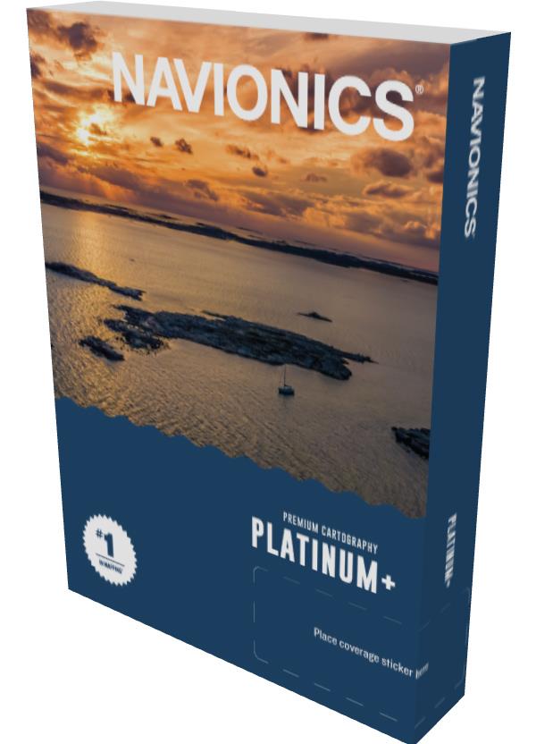
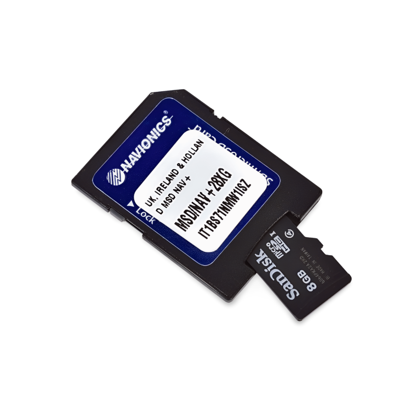

Item number: 010-C1314-40
Navionics Code: NPEU008R
Format: microSD™/SD™ card
Sailing to the rhythm of the tides: France West & Basque Country
From the rugged cliffs of Brittany to the endless beaches of Les Landes and the green coast of Spain. The Platinum+ NPEU008R will support you in this demanding area. Especially in the large estuaries (Gironde, Loire) and when approaching tidal harbors (La Rochelle), the satellite images and harbor photos provide valuable additional information.
Coverage & Charts
- France: Southern Brittany (Brest, Lorient), Vendée, La Rochelle, Bordeaux/Gironde, Biarritz.
- Spain: North coast (Basque Country, Cantabria) from San Sebastian to approx. Gijón.
- Offshore: The entire Bay of Biscay.
Exclusive Features of the Platinum+ Series
- Satellite Overlay: Photorealistic representation, ideal for estuaries.
- 3D View: Plastic view of the seabed (continental shelf).
- Harbor Photos: Pictures of marinas and landmarks.
Compatibility
-
Raymarine, Simrad, Lowrance, B&G, Humminbird.
Important Note
⚠️ NOT compatible with Garmin chartplotters.
Technical Data
- Chart Code: NPEU008R (Bay of Biscay)
- Manufacturer part number: 010-C1314-40