


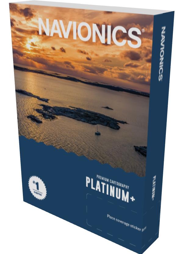
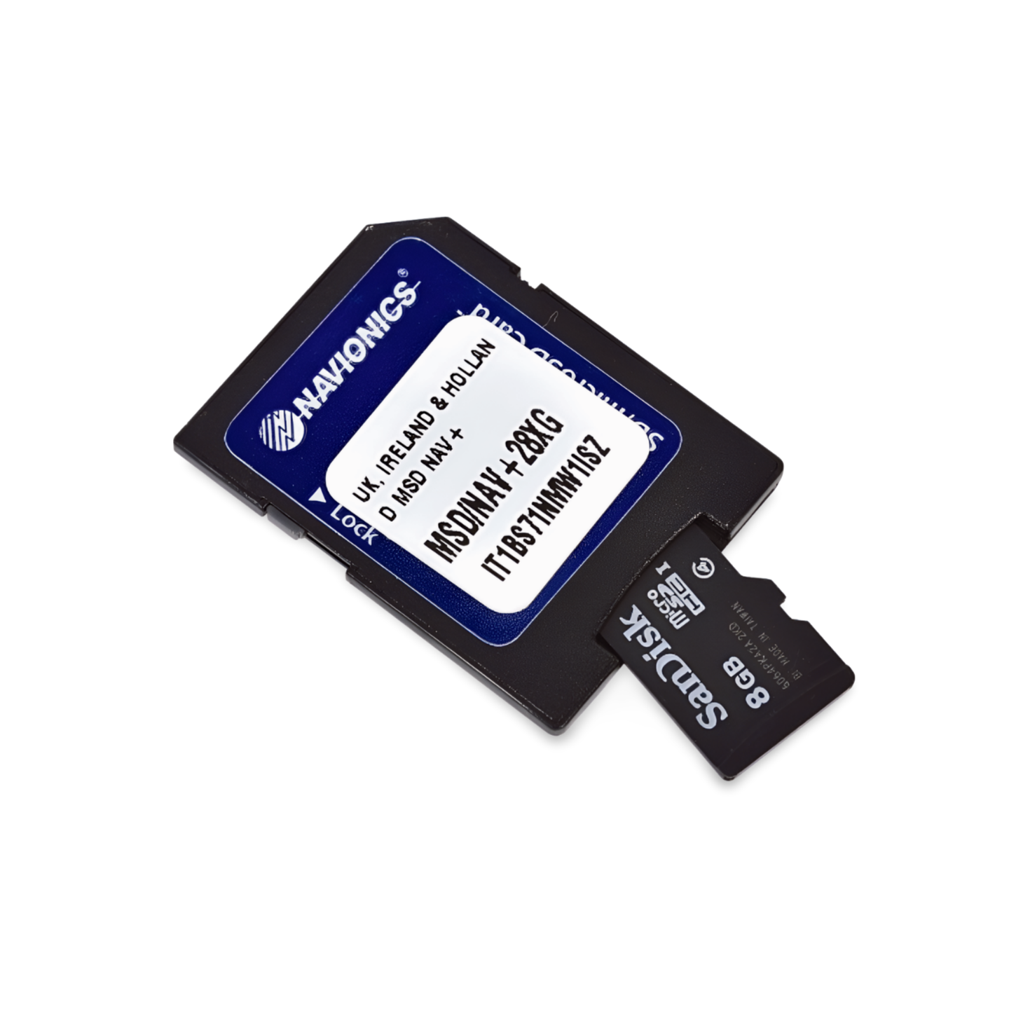

Item number: 010-C1353-40 | Navionics code: NPEU077R | Format: microSD™/SD™ card
The complete Denmark package plus home waters
Whether it's "Around Zealand", a trip to the Schlei or an excursion to Sylt: The Platinum+ NPEU077R covers the most popular sailing areas for German water sports enthusiasts. The satellite overlay is a great help, especially in the North Frisian Wadden Sea and in the Danish fjords (e.g. Limfjord). Port photos and 3D views assist when approaching the countless Danish island ports.
Coverage & Charts
- Denmark: Complete (Jutland, Funen, Zealand, Bornholm, Limfjord).
- Germany Baltic Sea: From Flensburg via Kiel and Lübeck to Rügen/Usedom.
- Germany North Sea: From Emden via the East Frisian Islands to Sylt.
- Netherlands: Partial coverage (Delfzijl/Ems estuary).
Exclusive features of the Platinum+ series
- Relief Shading & Satellite Imagery: Maximum detail for mudflats and coast.
- 3D-View: Three-dimensional depth display.
- Panoramic Port Photos: Thousands of images of marinas in Denmark and Germany.
Compatibility
- Raymarine, Simrad, Lowrance, B&G, Humminbird.
Important note
⚠️ NOT compatible with Garmin chartplotters.
Technical data
Chart code: NPEU077R (Denmark & Germany North)
Manufacturer part number: 010-C1353-40