



Item Number: 010-C1346-00 | Format: microSD™/SD™ Card
Navigating the Heart of Scandinavia: From the Oslofjord to the Danish Belts
With the Navionics+ NAEU645L, you receive detailed and extensive coverage for one of Northern Europe's most frequented and beautiful cruising areas. This "Large" format chart connects the rugged Norwegian south coast with the fascinating archipelagos of Western Sweden and the diverse Danish coast. Whether you are mastering the currents near Skagen, exploring the Oslofjord, or navigating through the Little and Great Belt – this chart provides all the necessary details on a single module.
Coverage & Cartography
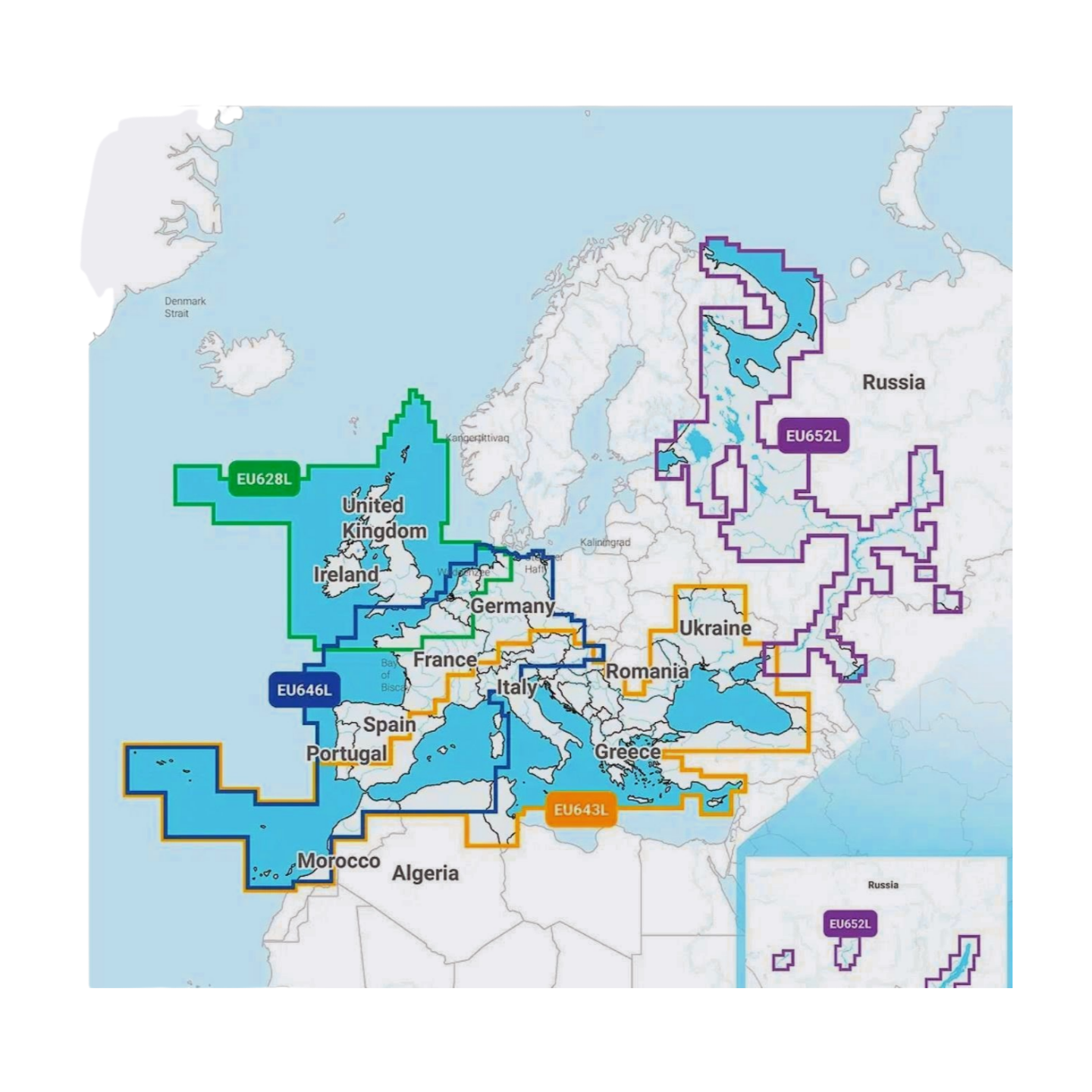
The Skagerrak & Kattegat (NAEU645L) chart offers comprehensive wide-area coverage:
- Norway: The entire south coast (Sørlandet) including the complete Oslofjord down to Kristiansand and Egersund.
- Sweden: The entire Swedish west coast from the Norwegian border via Gothenburg down to Malmö and the Öresund.
- Denmark: Full coverage of the Kattegat and Skagerrak, the islands of Zealand (Sjælland) and Funen (Fyn), the Limfjord, and the Danish Baltic Sea coast.
- Waters: Includes all important passages such as the Öresund, the Great Belt, and the Little Belt, as well as approaches to Copenhagen and Gothenburg.
- Harbors: High-precision plans for all marinas, industrial harbors, and countless natural harbors in the Swedish and Norwegian archipelagos.
Top Features of the Navionics+ Series
Highest precision for demanding archipelago navigation and coastal cruising:
- SonarChart™ HD Bathymetry: Use high-resolution depth charts with 0.5m contour lines. A crucial safety advantage in the rocky waters of Norway and Sweden, as well as in the shallow Danish bays.
- Daily Updates: Included in the purchase price is a 1-year subscription for daily updates via the Navionics Chart Installer. This keeps your data on buoy changes and port alterations always up to date.
- Dock-to-Dock Autorouting: The intelligent technology automatically calculates safe route suggestions through complex island worlds, based on your draft and the chart data.
- Community Edits: Benefit from valuable tips from the global community on anchorages, waterfront restaurants, and local peculiarities.
- Plotter Sync: Wirelessly synchronize routes and waypoints between your compatible plotter and the Navionics Boating App.
Compatibility
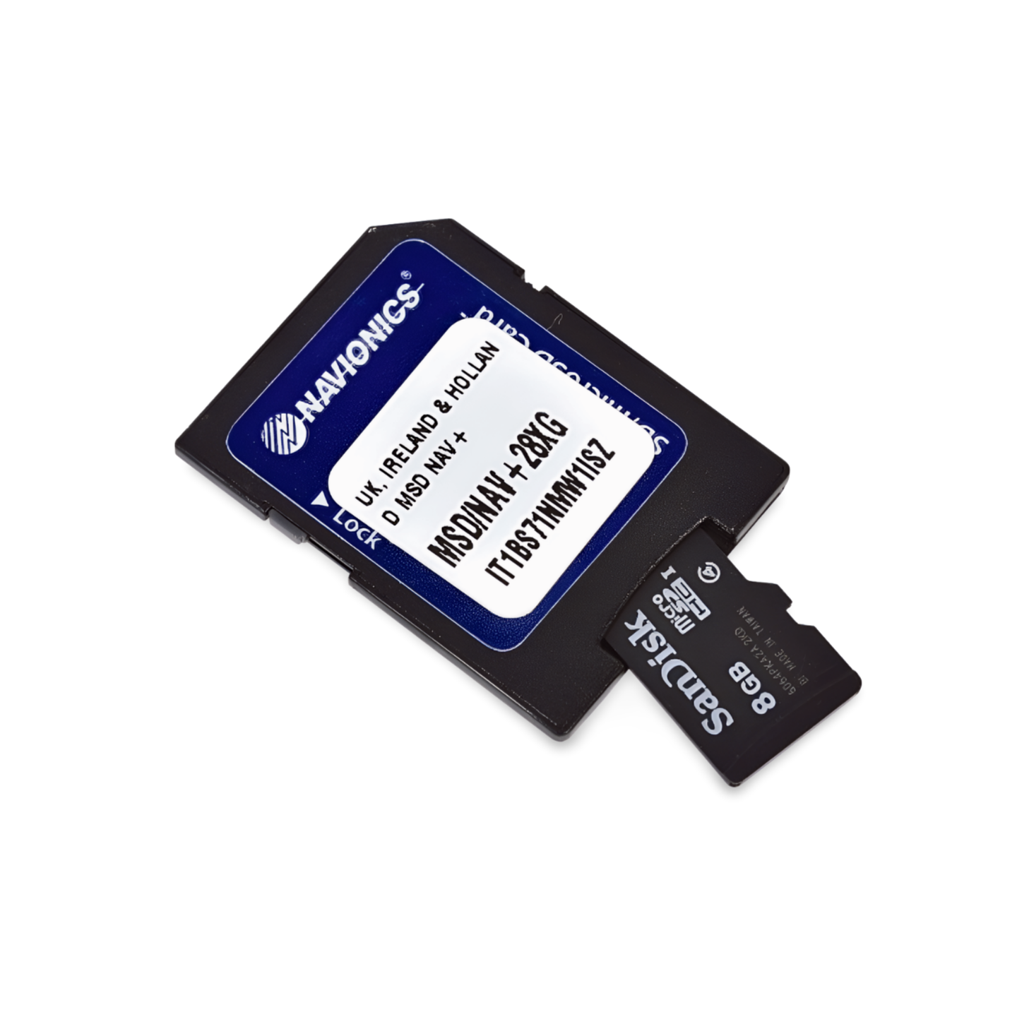
This chart comes on a microSD card with an SD card adapter. It is compatible with modern chartplotters from the following brands:
- Raymarine
- Simrad
- Lowrance
- B&G
- Humminbird
⚠️ Important Note: This Navionics+ chart is NOT compatible with Garmin chartplotters. For Garmin devices, you need the Garmin Navionics+ or BlueChart series.
Technical Data
- Chart Code: NAEU645L (Skagerrak & Kattegat)
- Manufacturer Part Number: 010-C1346-00
- Storage Medium: microSD / SD
- Language: English / International
Order now at waypoint-gps.de: Secure your Navionics+ NAEU645L and navigate the Skagerrak and Kattegat with maximum coverage and highest precision!