


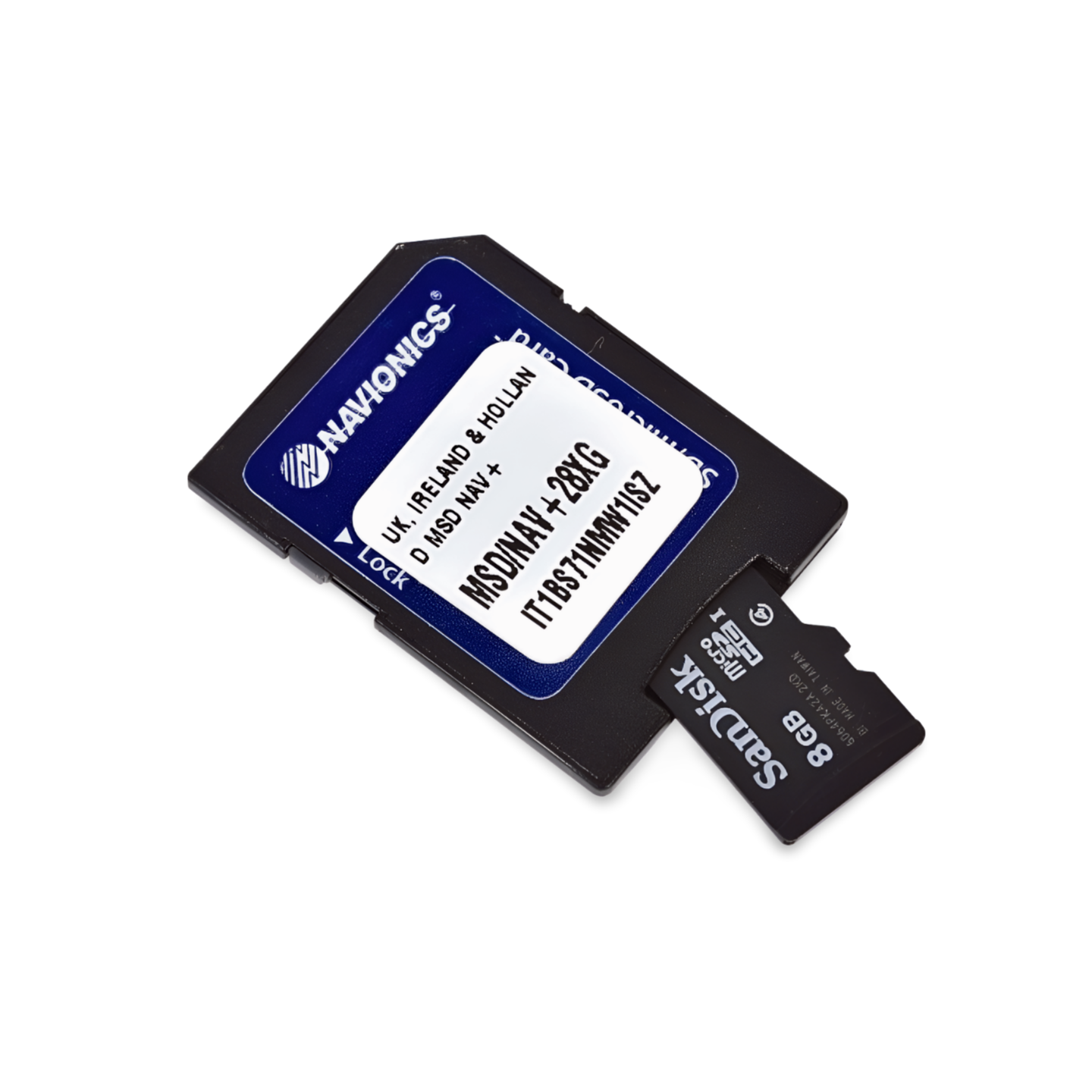

Item Number: 010-C1343-00 | Format: microSD™/SD™ card
Boundless Navigation: From the Shetland Islands to the English Channel
With the Navionics+ NAEU628L, you get one of the most comprehensive chart modules for the European region. This "Large" format chart is designed for skippers covering long distances between the United Kingdom, Ireland, and mainland Europe. Whether you're navigating the currents of the English Channel, exploring the rugged west coast of Ireland, or traversing the dense network of Dutch canals – this chart provides all the necessary details on a single module.
Coverage & Chart Material
The UK, Ireland & Holland (NAEU628L) chart offers seamless wide-area coverage:
- Great Britain: The entire coastline of England, Scotland, and Wales, including the Orkney and Shetland Islands and the Isle of Man.
- Ireland: Full coverage of the Republic of Ireland and Northern Ireland, including all coastal sections and important bays.
- Netherlands (Holland): The entire North Sea coast as well as comprehensive coverage of inland waters (IJsselmeer, Wadden Sea, canals, and rivers).
- Belgium: Seamless coverage of the Belgian coast and the most important inland waterways.
- Northern France: Coastal sections along the English Channel from the Belgian border to the western end of Normandy.
- Ports: Highly precise plans for all major marinas, commercial ports, and sheltered anchorages in this extensive cruising area.
Top Features of the Navionics+ Series
Maximum precision for challenging areas and tidal waters:
- SonarChart™ HD Bathymetry: High-resolution depth charts with 0.5m contour lines. An invaluable advantage for navigation in the Wadden Sea or in the rocky coastal waters of Scotland and Ireland.
- Daily Updates: Includes a 1-year subscription for daily updates via the Navionics Chart Installer. This keeps you informed about new buoyage, changed water depths, and port information.
- Dock-to-Dock Autorouting: The intelligent technology automatically calculates safe route suggestions, taking into account water depths, obstacles, and bridge heights (in inland areas).
- Community Edits: Benefit from valuable insider tips from the global community on anchorages, waterfront restaurants, and local specifics.
- Plotter Sync: Wirelessly synchronize routes and waypoints between your compatible plotter and the Navionics Boating App.
Compatibility
This chart comes on a microSD card with an SD card adapter. It is compatible with modern chartplotters from the following brands:
- Raymarine
- Simrad
- Lowrance
- B&G
- Humminbird
⚠️ Important Note: This Navionics+ chart is NOT compatible with Garmin chartplotters. For Garmin devices, you need the Garmin Navionics+ or BlueChart series.
Technical Data
- Chart Code: NAEU628L (UK, Ireland & Holland)
- Manufacturer Part Number: 010-C1343-00
- Storage Medium: microSD / SD
- Language: English / International
Order now at waypoint-gps.de: Secure your Navionics+ NAEU628L and experience maximum coverage and navigation precision for Northwest Europe!