


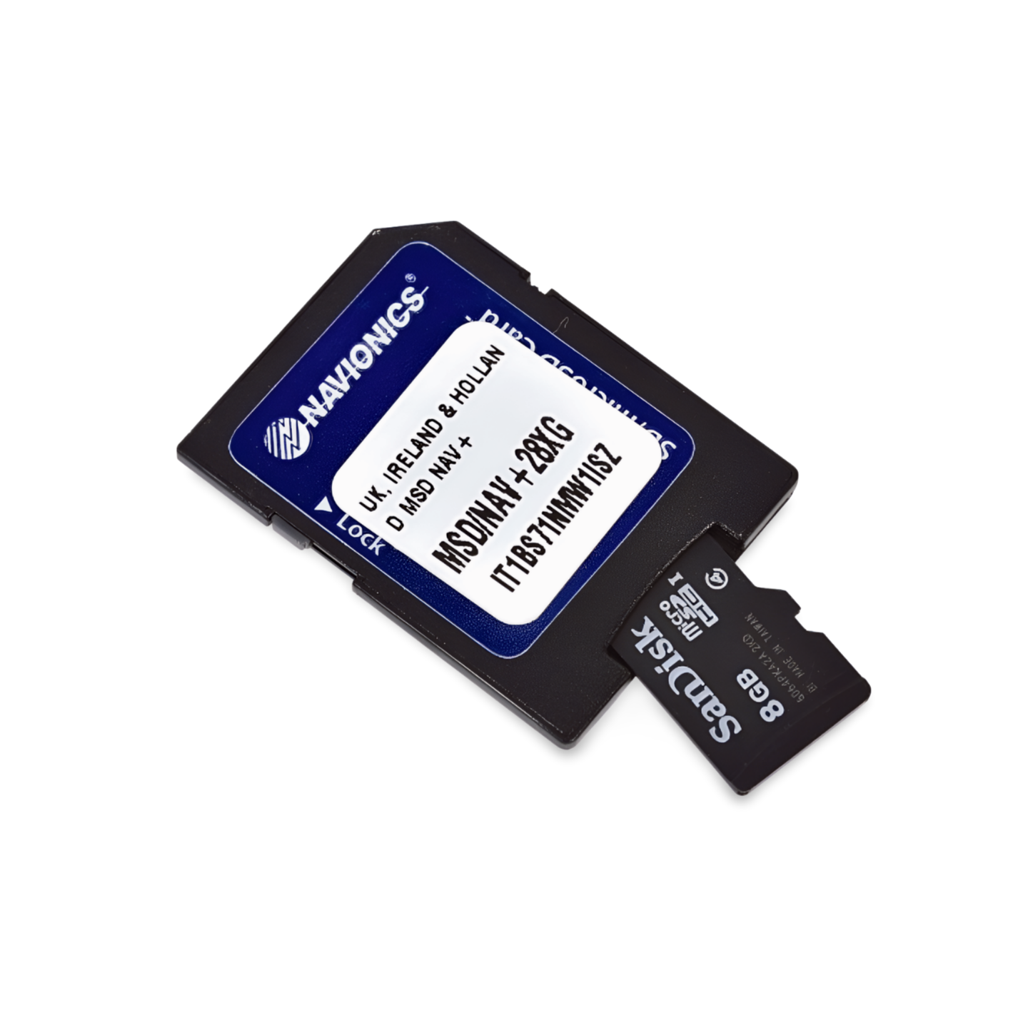

Article number: 010-C1339-30 | Format: microSD™/SD™ Card
Your Companion for the Baltic States and Masuria
With the Navionics+ NAEU081R, you can navigate safely through the diverse waters of the eastern Baltic Sea. From the modern marinas in Gdansk and Riga to the pristine Estonian archipelagos and the deep forests of Masuria, this chart offers maximum precision. It is the perfect choice for cruising sailors on long voyages towards Tallinn, as well as for motorboat enthusiasts and anglers exploring the Polish lake districts.
Coverage & Chart Material
The Baltic Sea, East Coast (NAEU081R) chart offers impressive coverage for marine and inland waters:
- Baltic Sea Coast: From the German-Polish border (Hiddensee/Usedom) across Poland, Kaliningrad (Russia), Lithuania, and Latvia to Estonia (Narva-Jõesuu).
- Islands: Complete coverage of the Swedish island of Gotland, as well as the Estonian islands of Saaremaa and Hiiumaa.
- Lagoon Waters: Detailed representation of the Szczecin Lagoon, the Vistula Lagoon, and the Curonian Lagoon.
- Inland Waters Poland: Comprehensive cartography of the Masurian Lake District (e.g., Śniardwy, Mamry, Jeziorak) as well as the rivers Oder, Vistula, and Bug.
- Inland Baltic & Belarus: Includes Lakes Peipus, Pihkva, and Vörtsjäv, as well as important rivers such as the Nemunas (Neman) and Daugava (Düna) extending into Belarus.
Top Features of the Navionics+ Series
Highest level of detail for demanding areas:
- SonarChart™ HD Bathymetry: High-resolution depth charts with 0.5m contour lines. A crucial advantage for anglers in Masuria and for safe navigation in the shallow lagoons of the Baltic Sea coast.
- Daily Updates: Includes a 1-year subscription for daily updates via the Navionics Chart Installer. This keeps you informed about new buoyage and port changes.
- Dock-to-Dock Autorouting: The intelligent technology automatically calculates safe route suggestions through the dense network of islands and waterways.
- Community Edits: Benefit from valuable insider tips from the community on anchorages, buoys, and local conditions in the Baltic region.
- Plotter Sync: Wirelessly synchronize routes and waypoints between your plotter and the Navionics Boating App on your smartphone or tablet.
Compatibility
This chart is supplied on a microSD card with an SD card adapter. It is compatible with modern chartplotters from the following brands:
- Raymarine
- Simrad
- Lowrance
- B&G
- Humminbird
⚠️ Important note: This Navionics+ chart is NOT compatible with Garmin chartplotters. For Garmin devices, you need the Garmin Navionics+ or BlueChart series.
Technical Data
- Chart Code: NAEU081R (Baltic Sea, East Coast)
- Manufacturer Part Number: 010-C1339-30
- Storage Medium: microSD / SD
- Language: English / International
Order now from waypoint-gps.de: Get your Navionics+ NAEU081R and experience the Baltic Sea East Coast and Masuria with the highest safety and detail!