


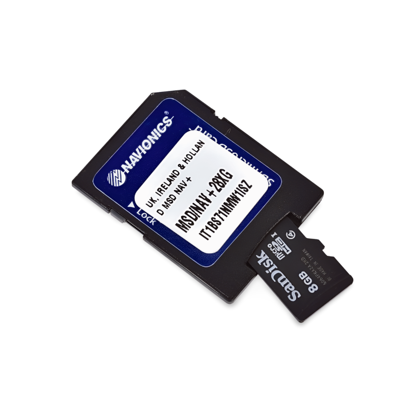

Item Number: 010-C1326-30 | Format: microSD™/SD™ card
Discover Sweden's most beautiful Baltic Sea coast: From the archipelagos to Gotland
With the Navionics+ NAEU079R, you navigate safely through the diverse waters of Southeast Sweden. From the wide sandy beaches of Scania to the impressive limestone cliffs of Gotland and the labyrinth of thousands of islands in the Stockholm archipelago – this chart provides precise data for every leg of your trip. Whether you're looking for a sheltered anchorage in the archipelagos or heading for the Hanseatic city of Visby, with Navionics, you have all the details directly on your chartplotter.
Coverage & Cartography
The Sweden Southeast (NAEU079R) chart offers detailed coverage for the entire Swedish southeast coast:
- Coast: From Trelleborg in the south, via Karlskrona and Kalmar, up to Norrtälje north of Stockholm.
- Islands: Full coverage of the large islands of Öland and Gotland including Kalmarsund.
- Archipelago: Comprehensive depiction of the entire Stockholm archipelago as well as the archipelagos of Blekinge and Småland.
- Ports: Detailed plans for all important marinas and commercial ports along the route.
Top Features of the Navionics+ Series
Maximum precision for navigation in demanding coastal and archipelago areas:
- SonarChart™ HD Bathymetry: High-resolution depth maps with 0.5m contour lines. An indispensable advantage when navigating through the narrow fairways and between the rocks of the Swedish archipelago.
- Daily Updates: Includes a 1-year subscription for daily updates. Keep your chart up to date with new buoyage and port information using the Navionics Chart Installer.
- Dock-to-Dock Autorouting: Intelligent technology suggests the safest route through complex island worlds based on your vessel parameters.
- Community Edits: Benefit from community knowledge with valuable tips on anchorages, buoys, and local conditions.
- Plotter Sync: Wirelessly synchronize routes and waypoints between your plotter and the Navionics Boating App on your smartphone or tablet.
Compatibility
This chart is supplied on a microSD card with SD card adapter. It is compatible with modern chartplotters from the following brands:
- Raymarine
- Simrad
- Lowrance
- B&G
- Humminbird
⚠️ Important Note: This Navionics+ chart is NOT compatible with Garmin chartplotters. For Garmin devices, you need the Garmin Navionics+ or BlueChart series.
Technical Data
- Chart Code: NAEU079R (Sweden Southeast)
- Manufacturer Part Number: 010-C1326-30
- Storage Medium: microSD / SD
- Language: English / International
Order now at waypoint-gps.de: Secure your Navionics+ NAEU079R and experience the Swedish Baltic Sea coast with maximum safety and detail!