



Item Number: 010-C1341-30 | Format: microSD™/SD™ Card
Explore the Waterways of the British Isles: From the Thames to the Shannon
With the Navionics+ NAEU072R, you can navigate safely through the diverse and historic inland waters of England, Scotland, Wales, and Ireland. Whether you're planning a trip through the heart of London on the Thames, exploring the pristine nature of Ireland's Shannon-Erne system, or traveling through the spectacular Caledonian Canal in the Scottish Highlands – this chart provides all the necessary details. Thanks to precise information on bridge heights, moorings, and water depths, you'll maintain full control on every river and lake.
Coverage & Chart Material
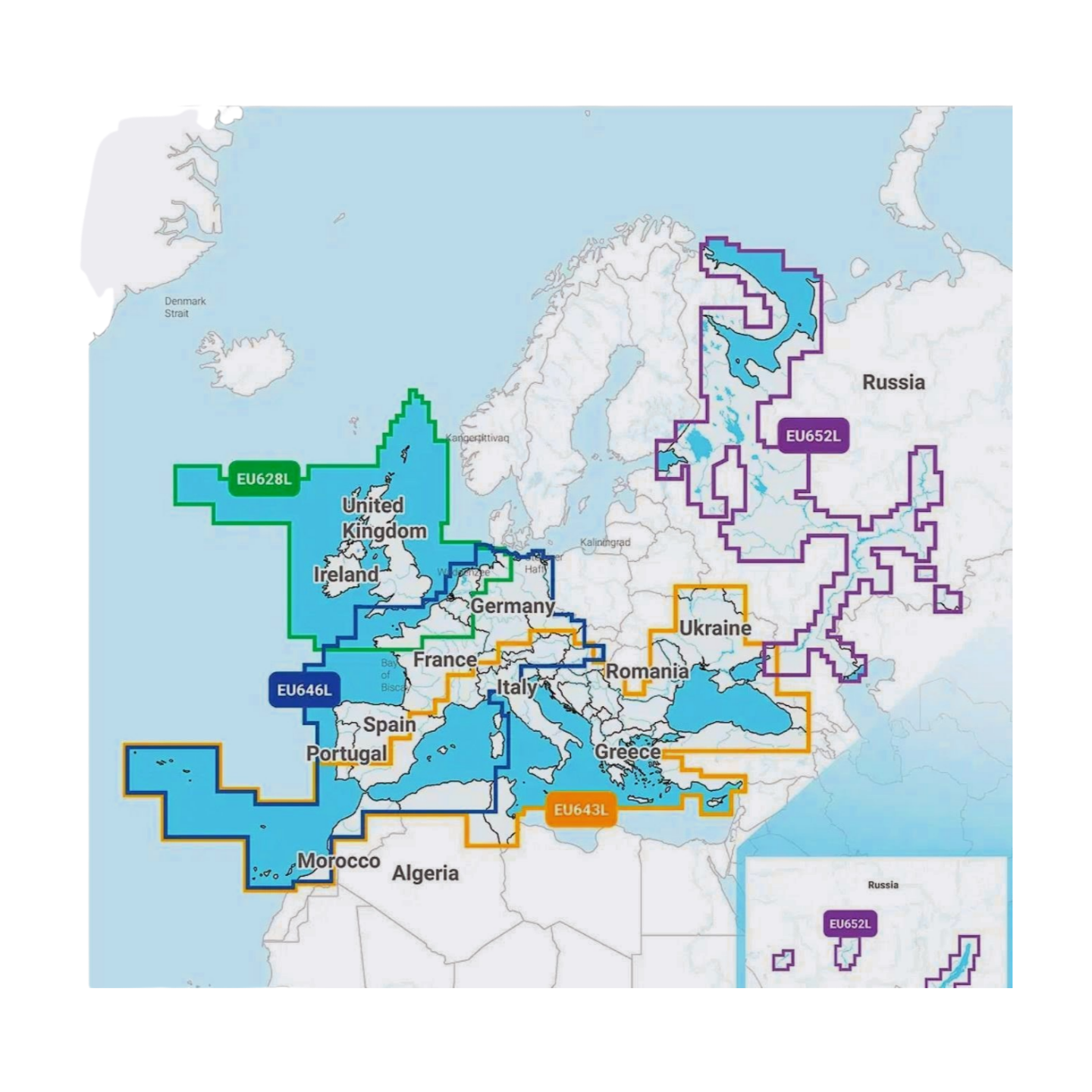
The UK & Ireland, Lakes & Rivers (NAEU072R) chart offers extensive coverage of all navigable inland waterways:
- Ireland & Northern Ireland: Comprehensive coverage of the River Shannon (including Lough Derg and Lough Ree), the Lough Erne system, as well as the Grand Canal and Royal Canal.
- England & Wales: The entire River Thames, the Norfolk Broads network, the River Trent, the River Severn, and the lakes of the Lake District (e.g., Windermere).
- Scotland: Detailed cartography of the Caledonian Canal (including Loch Ness, Loch Oich, and Loch Lochy) as well as Loch Lomond and Loch Awe.
- Canals: Includes the main "narrowboat" canals and waterways of the United Kingdom.
- Ports & POIs: Precise plans for inland marinas, public moorings, waterside fuel stations, and lock systems.
Top Features of the Navionics+ Series
Maximum precision for unforgettable inland cruises:
- SonarChart™ HD Bathymetry: High-resolution depth charts with 0.5m contour lines. An invaluable advantage for anglers and for safe navigation in the often shallow or weedy shorelines of Irish and British lakes.
- Daily Updates: Includes a 1-year subscription for daily updates via the Navionics Chart Installer. This keeps you informed about changes to fairways and port information.
- Dock-to-Dock Autorouting: The intelligent technology automatically calculates safe route suggestions taking into account bridge clearance heights and your draft.
- Community Edits: Benefit from valuable insider tips from the community on anchorages, waterside pubs, and local specifics.
- Plotter Sync: Wirelessly synchronize routes and waypoints between your compatible plotter and the Navionics Boating App.
Compatibility
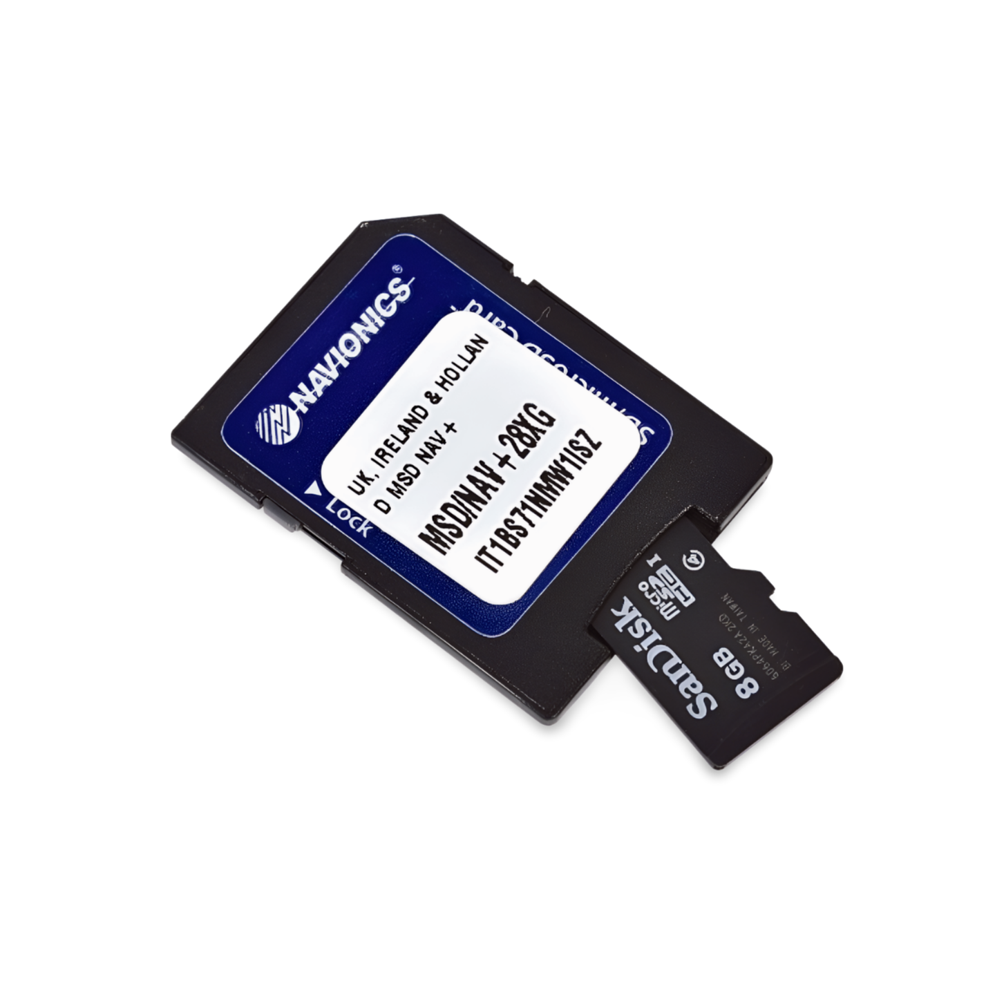
This chart comes on a microSD card with an SD card adapter. It is compatible with modern chartplotters from the following brands:
- Raymarine
- Simrad
- Lowrance
- B&G
- Humminbird
⚠️ Important Note: This Navionics+ chart is NOT compatible with Garmin chartplotters. For Garmin devices, you need the Garmin Navionics+ or BlueChart series.
Technical Data
- Chart Code: NAEU072R (Great Britain, Northern Ireland, Ireland, Lakes & Rivers)
- Manufacturer Part Number: 010-C1341-30
- Storage Medium: microSD / SD
- Language: English / International
Order now at waypoint-gps.de: Secure the Navionics+ NAEU072R and experience the fascinating waterways of Ireland and Great Britain with the highest safety and detail!