


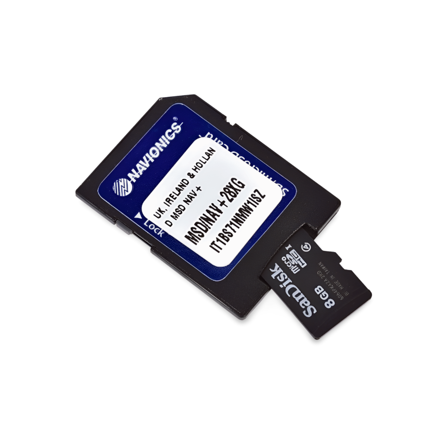

Part Number: 010-C1340-30 | Format: microSD™/SD™ Card
Discover Sweden's Blue Ribbons: From Skagerrak to the Baltic Sea
With Navionics+ NAEU067R, navigate safely through the heart of Sweden. With its vast lake systems and historic canals, the country offers one of the most beautiful inland cruising areas in the world. This map provides you with the necessary precision to navigate the wide waters of Lake Vänern, explore the crystal-clear depths of Lake Vättern, or plan your traverse of Sweden on the Göta Canal. Thanks to detailed harbor plans and information on locks and shoals, you will always maintain your bearings in the Swedish wilderness.
Coverage & Cartography
The map Sweden, Lakes & Rivers (NAEU067R) covers the most important Swedish inland waters:
- The Great Lakes: Full coverage of Vänern, Vättern, Mälaren (near Stockholm) and Hjälmaren.
- Göta Canal & Trollhätte Canal: Detailed cartography of the entire waterway across Sweden, including all locks and bridges.
- Central & Southern Sweden: Numerous other navigable lakes such as Siljan, Sommen, Bolmen, Helgasjön, as well as the waters around the southern Swedish provinces.
- River Systems: Includes important rivers like the Klarälven and Göta Älv.
- Harbors & POIs: Precise plans for inland marinas, official guest harbors, fuel stations on the water, and berths along the canals.
Top Features of the Navionics+ Series
Highest level of detail for safety and fishing success in Swedish waters:
- SonarChart™ HD Bathymetry: High-resolution depth maps with 0.5m contour lines. An invaluable advantage for anglers to precisely identify underwater mountains and edges in the vast lakes.
- Daily Updates: Includes a 1-year subscription for daily updates via the Navionics Chart Installer. Stay informed about changes to buoyage and channel markings.
- Dock-to-Dock Autorouting: Intelligent technology automatically calculates safe route suggestions through the archipelagoes of the lakes and the canal network, based on your draft.
- Community Edits: Benefit from valuable insider information from the community about anchorages, private jetties, and local obstacles.
- Plotter Sync: Wirelessly synchronize routes and waypoints between your compatible plotter and the Navionics Boating App.
Compatibility
This map is supplied on a microSD card with an SD card adapter. It is compatible with modern chartplotters from the following brands:
- Raymarine
- Simrad
- Lowrance
- B&G
- Humminbird
⚠️ Important Note: This Navionics+ map is NOT compatible with Garmin chartplotters. For Garmin devices, you need the Garmin Navionics+ or BlueChart series.
Technical Specifications
- Map Code: NAEU067R (Sweden, Lakes & Rivers)
- Manufacturer Part Number: 010-C1340-30
- Storage Medium: microSD / SD
- Language: English / International
Order now at waypoint-gps.de: Secure your Navionics+ NAEU067R and experience Sweden's lakes and canals with the highest navigation precision!