


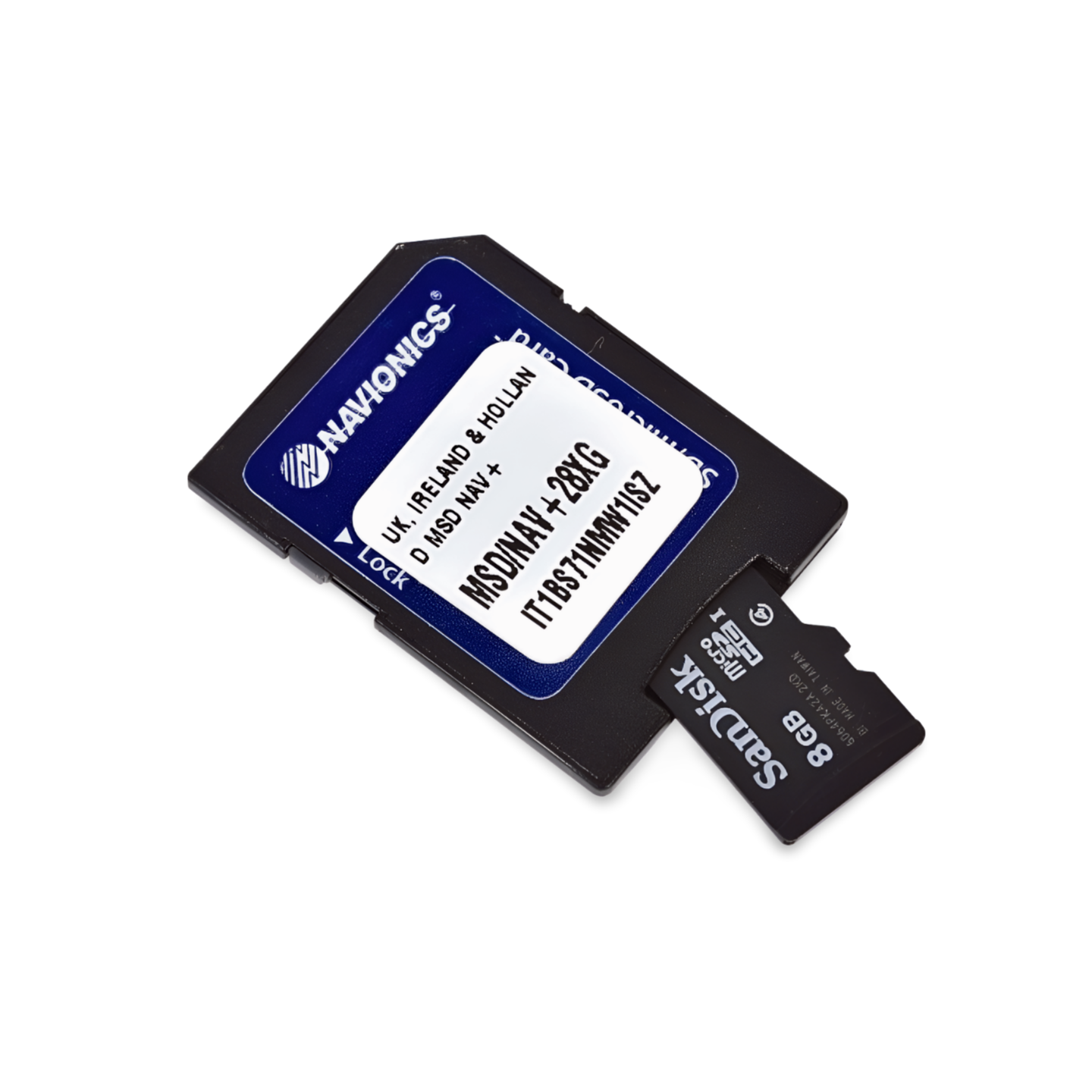

The new map region NAEU082R (Benelux & Germany) replaces the two existing map areas EU060R (Germany, Lakes & Rivers) and EU076R (Benelux & Germany, West).
Order the Navionics+ NAEU082R (Benelux & Germany) now
Limitless navigation: German coasts and inland waters on one map
With the Navionics+ NAEU060R, you only need one map module for all of Germany. Whether you are cruising in the challenging tidal waters of the North Sea, exploring the picturesque bays of the Baltic Sea, or navigating the idyllic lake districts and rivers inland – this map provides precise data for every region. It is the ideal companion for skippers planning both coastal cruises and inland journeys (e.g., via the Kiel Canal or the Elbe).
Coverage & Map Material
The Germany Lakes & Rivers (NAEU060R) map offers seamless coverage:
- Seacoast: The entire German North Sea coast (incl. Ems, Weser, Elbe, and all islands) as well as the complete Baltic Sea coast from Flensburg to the Szczecin Lagoon (incl. Fehmarn and Rügen).
- North & East Germany: Mecklenburg Lake District (Müritz), Berlin waters, Havel, Spree, and the Kiel Canal.
- West & South Germany: The entire Rhine, Moselle, Main, the Western German canal network, as well as the Danube (up to Budapest) and Lake Constance.
- Alpine Region: Additionally includes numerous lakes in Austria, Switzerland (e.g., Lake Zurich), and Hungary (Lake Balaton).
Top features of the Navionics+ series
Maximum precision for coast and inland:
- SonarChart™ HD Bathymetry: High-resolution depth maps with 0.5m contour lines. Essential for navigation in the Wadden Sea as well as for finding fishing grounds in inland lakes.
- Daily Updates: Includes a 1-year subscription for daily updates. Stay informed about buoy relocations in coastal fairways and current lock information.
- Dock-to-Dock Autorouting: Automatically calculates safe route suggestions while taking bridge clearance heights and your draft into account.
- Community Edits: Benefit from valuable tips from the community regarding marinas, anchorages, and waterfront restaurants.
- Plotter Sync: Wirelessly synchronize routes and waypoints between your plotter and the Navionics Boating App.
Compatibility
This map is supplied on a microSD card with an SD card adapter. It is compatible with modern chartplotters from the following brands:
- Raymarine
- Simrad
- Lowrance
- B&G
- Humminbird
⚠️ Important Note: This map is NOT compatible with Garmin plotters. The Garmin Navionics+ series is required for this.
Technical Data
- Map Code: NAEU060R
- Manufacturer Part Number: 010-C1334-30
- Coverage: Germany (coastal & inland), Austria, Switzerland, Czech Republic, Slovakia, Hungary.
Order now at waypoint-gps.de: Secure the Navionics+ NAEU060R – the perfect overall solution for your cruises at sea and on the river!