


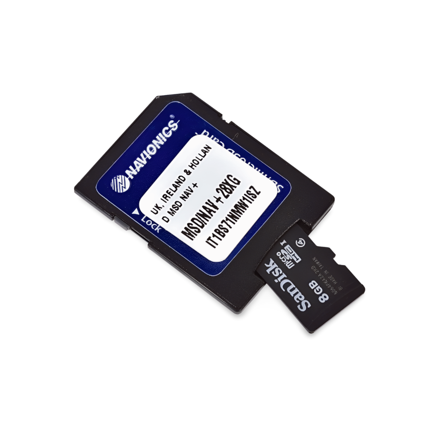

Item Number: 010-C1332-30 | Format: microSD™/SD™ card
Navigation at the "Top of Europe": From Vestfjord to Spitsbergen
With the Navionics+ NAEU054R, you can navigate Europe's northernmost navigable waters. This chart covers the spectacular coastline of Nordland and Finnmark, as well as the remote islands in the Arctic Ocean. Whether you are navigating the sheltered fjords around Tromsø, rounding the legendary North Cape, or planning an expedition to Svalbard – this chart provides the necessary detail for safe navigation in one of the world's most extreme regions.
Coverage & Chart Material
The Vestfjord to Svalbard (NAEU054R) chart offers extensive coverage for Arctic regions:
- Norwegian Coast: Coverage from the Vestfjord (Lofoten) via Bodø, Harstad, and Tromsø to Hammerfest.
- Finnmark & North Cape: The entire coast of Finnmark including the North Cape up to the Russian border (Kirkenes).
- Bear Island (Bjørnøya): Detailed cartography of the isolated island halfway north.
- Svalbard (Spitsbergen): Comprehensive coverage of the entire archipelago, including the main island of Spitsbergen, Nordaustlandet, and Edgeøya.
- Harbors: Precise plans for Arctic harbors and anchorages, which are essential in stormy regions.
Top Features of the Navionics+ Series
Maximum safety for expeditions and professional anglers:
- SonarChart™ HD Bathymetry: High-resolution depth charts with 0.5m contour lines. Essential for halibut anglers in the north and for identifying safe anchorages in Arctic bays.
- Daily Updates: Includes a 1-year subscription for daily updates via the Navionics Chart Installer. Stay informed about all changes in these dynamic waters.
- Dock-to-Dock Autorouting: Automatically generates safe route suggestions through the complex fjord landscapes based on your draft.
- Community Edits: Benefit from valuable tips from other skippers on local conditions, drift ice observations, or special anchorages.
- Plotter Sync: Wirelessly synchronize routes and waypoints between your compatible plotter and the Navionics Boating App.
Compatibility
This chart is supplied on a microSD card with SD card adapter. It is compatible with modern chartplotters from the following brands:
- Raymarine
- Simrad
- Lowrance
- B&G
- Humminbird
⚠️ Important Note: This Navionics+ chart is NOT compatible with Garmin chartplotters. For Garmin devices, you need the Garmin Navionics+ or BlueChart series.
Technical Data
- Chart Code: NAEU054R (Vestfjord to Svalbard)
- Manufacturer Part Number: 010-C1332-30
- Storage Medium: microSD / SD
- Language: English / International
Order now at waypoint-gps.de: Secure your Navionics+ NAEU054R and navigate the waters of the high North with utmost precision!