


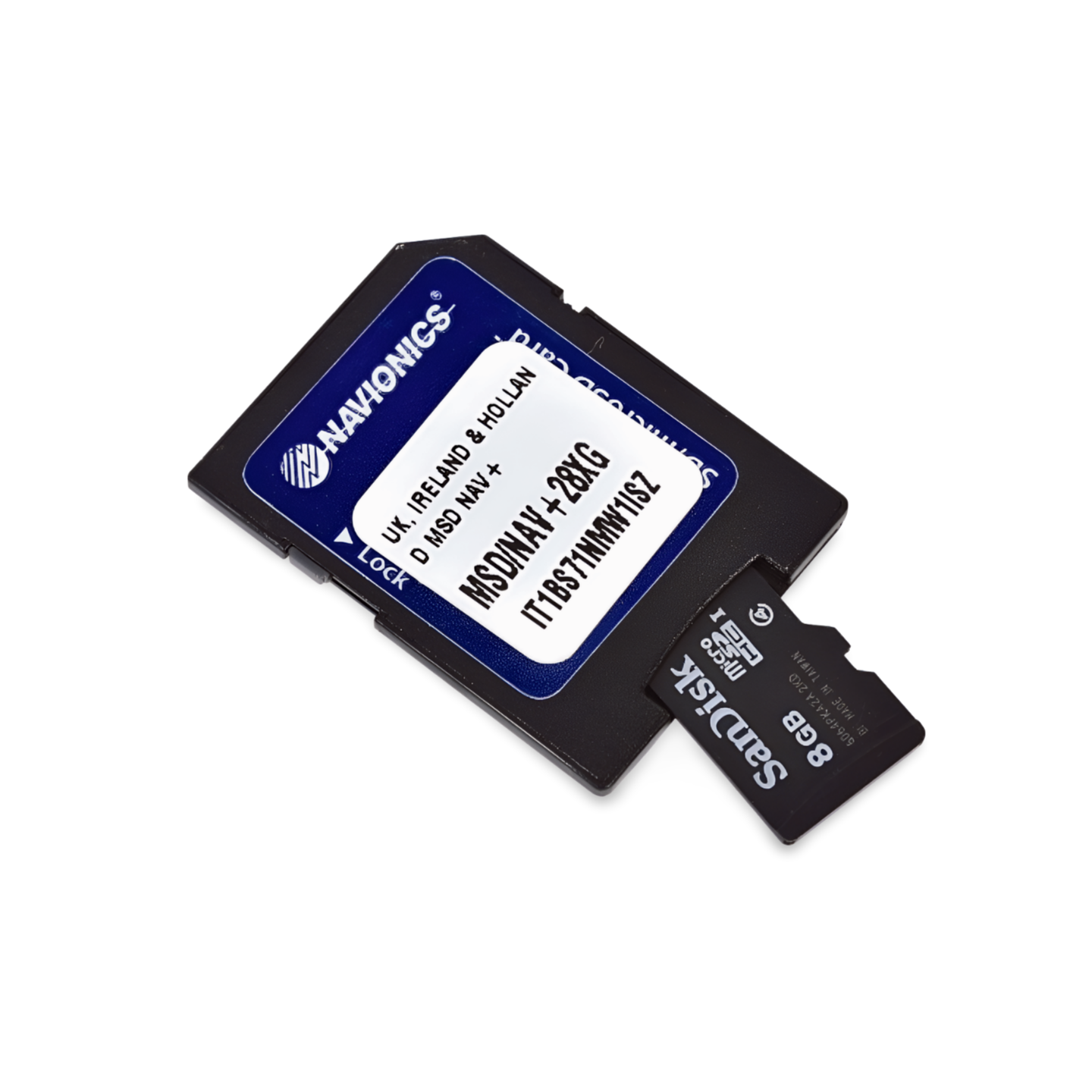

Item Number: 010-C1331-30 | Format: microSD™/SD™ card
North Course: Through the Island World of Lofoten and the Helgeland Coast
With Navionics+ NAEU053R, you navigate through one of the most fascinating marine areas in the world. This chart covers the vast coastline of Northern Norway, famous for its thousands of islands, deep fjords, and world-renowned fishing grounds. Whether you are passing the "Seven Sisters" on the Helgeland Coast, calculating the Saltstraumen near Bodø, or calling at the sheltered harbors of Lofoten and Vesterålen – Navionics provides you with the necessary precision for a safe passage in these challenging waters.
Coverage & Chart Material
The Trondheim to Tromsø (NAEU053R) chart offers seamless coverage for Northern Norway:
- South: Starts at Trondheimsfjord and continues north along the Trøndelag coast.
- Helgeland Coast: Detailed coverage of the archipelagos from Brønnøysund, Sandnessjøen to Bodø.
- Island Groups: Comprehensive cartography of the entire Lofoten and Vesterålen as well as the island of Senja.
- North: The coverage extends to the Tromsø area and the surrounding fjord systems.
- Harbors: Precise plans for all important marinas, fishing ports, and anchorages along the route.
Top Features of the Navionics+ Series
Maximum detail for safety and fishing success:
- SonarChart™ HD-Bathymetry: High-resolution depth charts with contour lines every 0.5 meters. This is a crucial advantage for anglers to precisely locate underwater mountains and edges (hotspots for cod and halibut).
- Daily Updates: A 1-year subscription for daily updates via the Navionics Chart Installer is included. This keeps your data on buoys and obstacles always up-to-date.
- Dock-to-Dock Autorouting: Automatically creates safe route suggestions through the narrow island passages of Northern Norway, based on your draft.
- Community Edits: Benefit from the knowledge of local skippers with tips on anchorages, buoys, and current local conditions.
- Plotter Sync: Wirelessly synchronize routes and waypoints between your plotter and the Navionics Boating App on your smartphone or tablet.
Compatibility
This chart comes on a microSD card with an SD card adapter. It is compatible with modern chartplotters from the following brands:
- Raymarine
- Simrad
- Lowrance
- B&G
- Humminbird
⚠️ Important Note: This Navionics+ chart is NOT compatible with Garmin chartplotters. For Garmin devices, you need the Garmin Navionics+ or BlueChart series.
Technical Data
- Chart Code: NAEU053R (Trondheim to Tromsø)
- Manufacturer Part Number: 010-C1331-30
- Storage Medium: microSD / SD
- Language: English / International
Order now at waypoint-gps.de: Secure your Navionics+ NAEU053R and experience the untouched nature of Northern Norway with the highest navigation precision!