


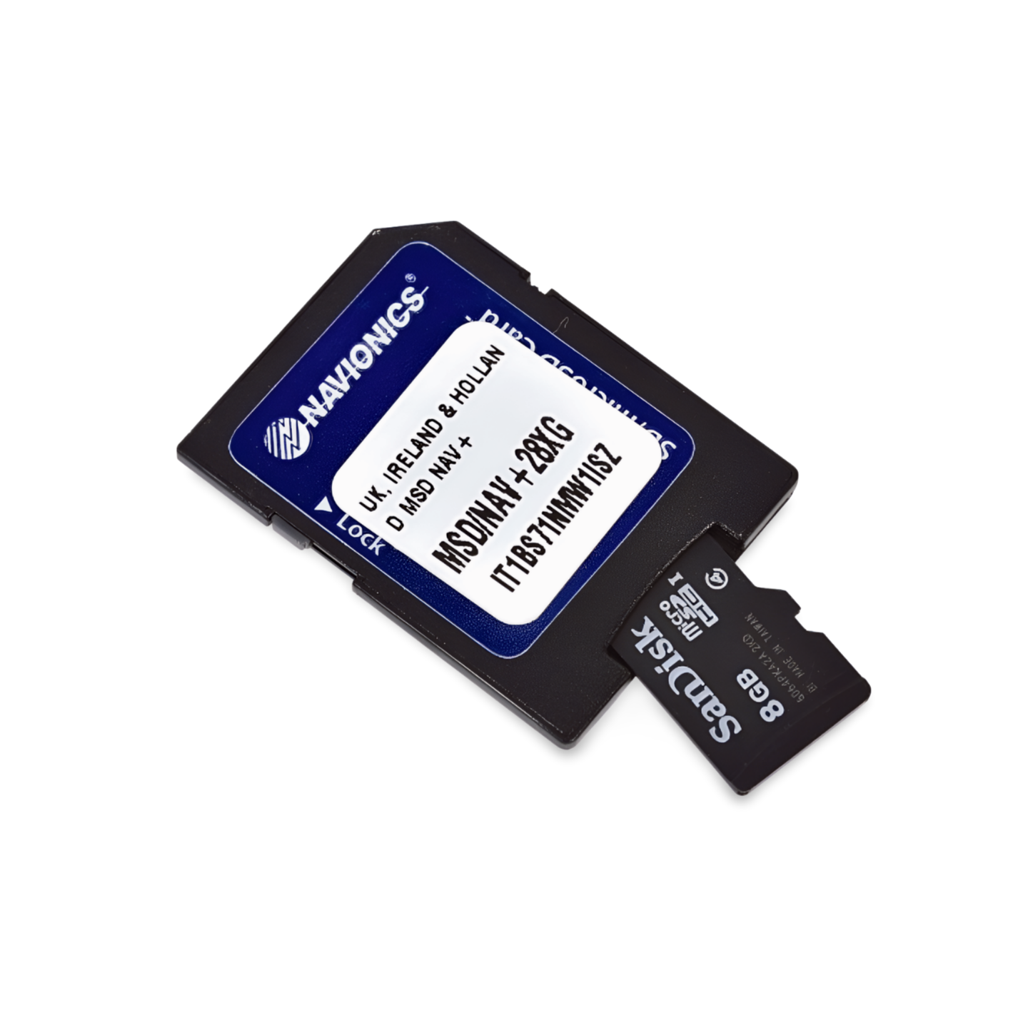

Part number: 010-C1325-30 | Format: microSD™/SD™ card
North Atlantic Adventure: From the volcanic islands of Iceland to the Highlands
With the Navionics+ NAEU043R, navigate safely through one of the most challenging sea areas in the world. Whether you are circumnavigating Iceland, calling at the remote ports of the Faroe Islands, or exploring the historic Shetland and Orkney Islands – this chart provides you with the necessary level of detail for a safe passage. Thanks to precise information on tides, currents, and port facilities, you always maintain full control even in the changeable conditions of the North Atlantic.
Coverage & Cartography
The Iceland to Orkney (NAEU043R) chart offers comprehensive coverage for the northern North Atlantic:
- Iceland: The entire coastline of Iceland, including all fjords, ports, and offshore islands.
- Faroe Islands: Complete coverage of the entire island group.
- Shetland Islands: Detailed cartography of all islands, including Lerwick and Scalloway.
- Orkney Islands: Seamless coverage of the island group north of Scotland.
- Scotland: Coverage of the north coast of Scotland and the Pentland Firth (an important passage between the Atlantic and the North Sea).
Top Features of the Navionics+ Series
Maximum precision for offshore navigation and coastal cruising:
- SonarChart™ HD Bathymetry: High-resolution depth charts with 0.5m contour lines – ideal for locating fishing grounds in deep fjords or navigating in narrow harbor entrances.
- Daily Updates: The purchase price includes a 1-year subscription for daily updates. Your data always stays up-to-date via the Navionics Chart Installer.
- Dock-to-Dock Autorouting: Intelligent technology automatically calculates route suggestions, taking into account complex coastlines and your individual boat parameters.
- Community Edits: Utilize the knowledge of the worldwide Navionics community – with current information on anchorages, buoys, and local conditions.
- Plotter Sync: Wirelessly transfer routes and waypoints between your compatible plotter and the Navionics Boating App on your mobile device.
Compatibility
This chart is supplied on a microSD card with an SD card adapter. It is compatible with modern chartplotters from the following brands:
- Raymarine
- Simrad
- Lowrance
- B&G
- Humminbird
⚠️ Important Note: This Navionics+ chart is NOT compatible with Garmin chartplotters. For Garmin devices, you need the Garmin Navionics+ or BlueChart series.
Technical Data
- Chart Code: NAEU043R (Iceland to Orkney)
- Manufacturer Part Number: 010-C1325-30
- Storage Medium: microSD / SD
- Language: English / International
Order now from waypoint-gps.de: Secure your Navionics+ NAEU043R and embark on your next North Sea adventure perfectly prepared!